
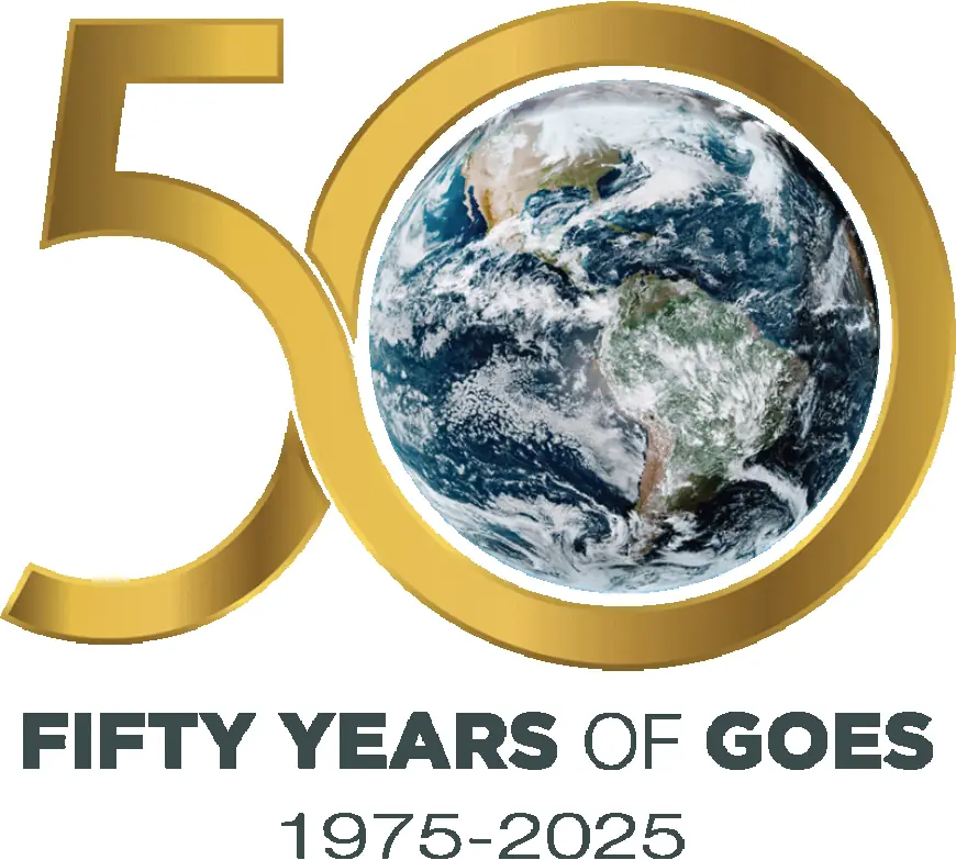
Celebrate 50 Years of GOES Satellite Observations With NASA
NASA and NOAA celebrate 50 years of GOES satellites, revolutionizing weather forecasting, space weather monitoring, and disaster preparedness.


Introduction: The Legacy of GOES Satellites
Since 1975, the Geostationary Operational Environmental Satellites (GOES) have transformed weather forecasting and environmental monitoring. Operated by NOAA in partnership with NASA, these satellites provide continuous coverage of the Western Hemisphere, monitoring severe storms, hurricanes, wildfires, and even solar activity.
Early Weather Forecasting Challenges
Before satellites, forecasts relied on limited weather balloons and manual maps. Accuracy was poor, often failing beyond two days, especially in the Southern Hemisphere. Early satellites like TIROS and Nimbus offered snapshots but lacked continuous monitoring.
Evolution of GOES Generations
GOES satellites advanced through multiple generations:
- First Generation (1975–1979): Introduced VISSR instruments, enabling day/night cloud and temperature monitoring.
- Second Generation (1980–1989): Added atmospheric sounders, improving severe storm forecasting and El Niño tracking.
- Third Generation (1994–2001): Enabled simultaneous imaging and sounding, plus solar X-ray monitoring.
- Fourth Generation (2006–2012): Enhanced navigation, continuous imaging, and ultraviolet solar monitoring.
- GOES-R Series (2016–2024): Revolutionized forecasting with high-resolution ABI imaging, lightning mapping, fire detection, and space weather monitoring.
Real-World Impact
- Tracked hurricanes like Maria (2017) and Hugo (1989).
- Monitored tornado outbreaks (2011) and wildfires such as California’s Camp Fire (2018).
- Supported SARSAT distress beacon rescues, saving thousands of lives.
Space Weather Monitoring
GOES satellites also monitor solar flares, coronal mass ejections, and geomagnetic storms, protecting satellites, power grids, and astronauts.
The Future: GeoXO Mission
The upcoming GeoXO satellites, launching in the early 2030s, will extend GOES capabilities into the mid-21st century. GeoXO will enhance severe weather forecasting, wildfire detection, and environmental hazard monitoring, ensuring public safety and resilience across the Western Hemisphere.
Conclusion
For 50 years, GOES satellites have been the backbone of short-term weather forecasting, disaster preparedness, and space weather monitoring. Their legacy continues with GeoXO, promising even greater accuracy and lead times for warnings that protect lives, property, and economies.
Reward this post with your reaction or TipDrop:
 Like
0
Like
0
 Dislike
0
Dislike
0
 Love
0
Love
0
 Funny
0
Funny
0
 Angry
0
Angry
0
 Sad
0
Sad
0
 TipDrop
0
TipDrop
0